In late 2021, Earth Science Analytics (ESA) and Rockwash Geodata announced the creation of a strategic collaboration to promote value realisation from previously underutilised cuttings samples.
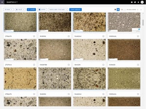
Drawing on their combined domain expertise, they have developed a methodology for labelling cuttings image data and training machine-learning (ML) models capable of interpreting and predicting the properties of cuttings samples.
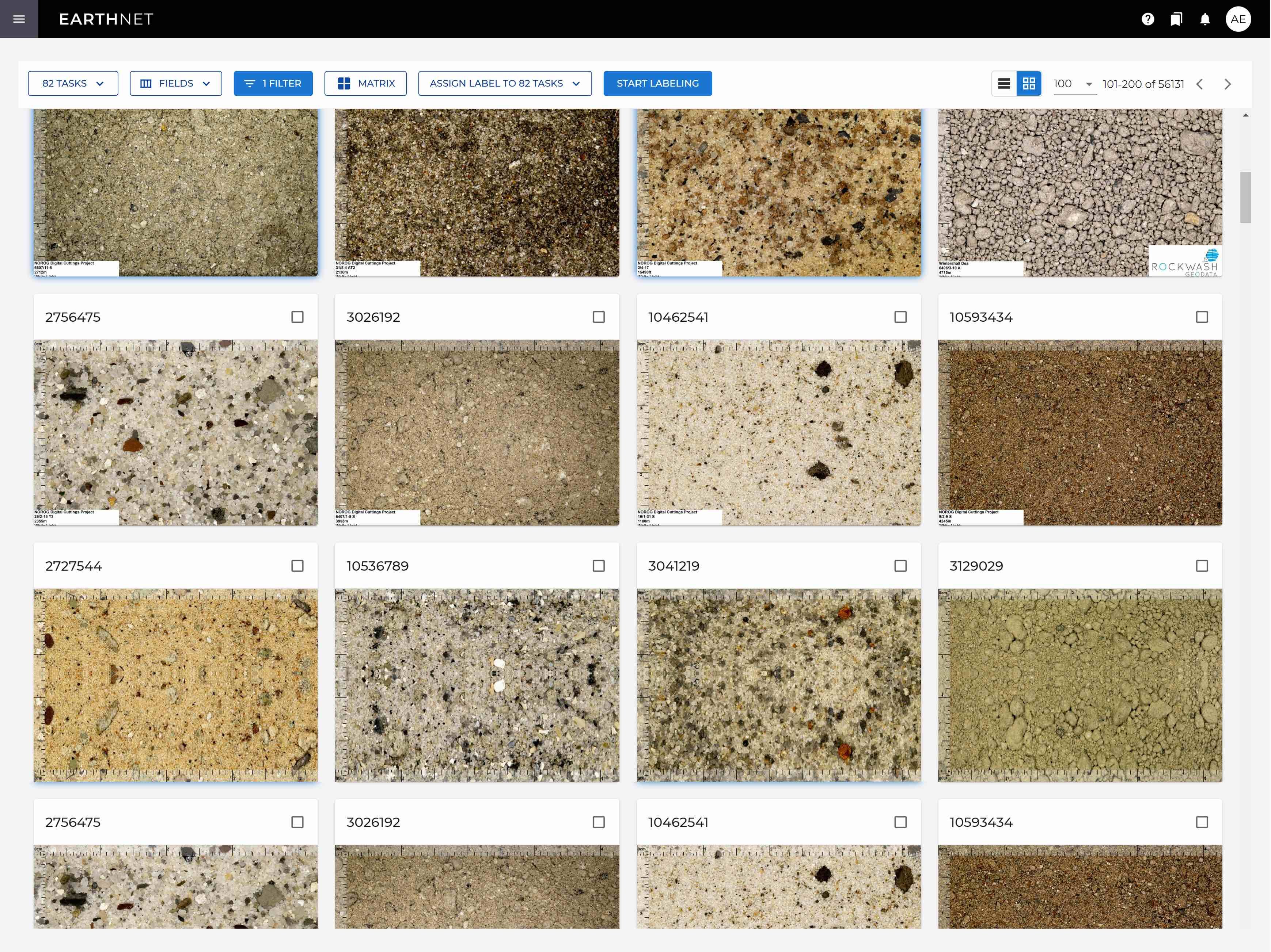
Rockwash Geodata are playing a key role in Norsk Olje og Gass’ (NOROG) Released Well Initiative (RWI) to process and analyse over 700,000 drill cuttings samples from more than 1,900 wells drilled on the Norwegian Continental Shelf. With the RWI project expected to complete in mid-2022, companies with RWI data entitlement are being invited to join a new R&D consortium with Rockwash Geodata and ESA. The R&D consortium’s remit is to further develop ML techniques for the interpretation of digital cuttings data to add additional value to the newly developed RWI database.
Over a two-year period, key goals of this R&D consortium are to:
-
Provide geological interpretation of the RWI cuttings image data and available supplementary data
-
Provide labelled data and trained machine-learning models for the interpretation of cuttings images
-
Implement supervised, unsupervised and semi-supervised machine-learning methods on the data
-
Enable users to train machine learning models in a no-code environment
Thanks to Lundin Energy’s early involvement in this work, a set of interim data labels is already available for use by the R&D consortium members.
The provisional output data from the R&D consortium’s work will include:
-
Cutting image classification results (tabular data in csv or las format)
-
Raw and semantic image segments (image data in jpg or png)
-
Tabular data based on segmentation methods, such as fraction of sandstone per image, will be exported in csv and/or las format to enable transfer to traditional G&G software and plotting along with well logs.
It must be noted that the above outputs will remain proprietary to the NOROG RWI consortium.
To learn more about this new R&D consortium from the Rockwash Geodata and ESA collaboration please contact:
Earth Science Analytics:
Katherine Gausland Fitzpatrick / katherine.fitzpatrick@earthanalytics.no / + 47 950 34643
Rockwash Geodata:
Douglas Langton / douglas.langton@rockwash.co.uk / + 44 (0) 7816 967230
Jack Cawthorne / jack.cawthorne@rockwash.co.uk / + 44 (0) 7791 135593
