ANALYTICS-READY DATA PACKAGE
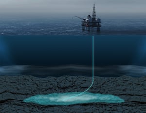
CCUS capacity and risk of key prospects in the US Gulf of Mexico
DATA PROVIDER
![]()
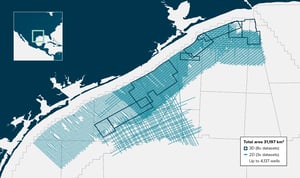
UNDERLYING DATASETS
8 x 3D seismic datasets,
3 x 2D seismic datasets,
and 4,137 wells
DERIVATIVE PRODUCT
Interpreted seismic and well data
AREA COVERAGE
31,197 square km