
- MAP PLOTS
- DATA FILTERING
- RESERVOIR EVALUATION
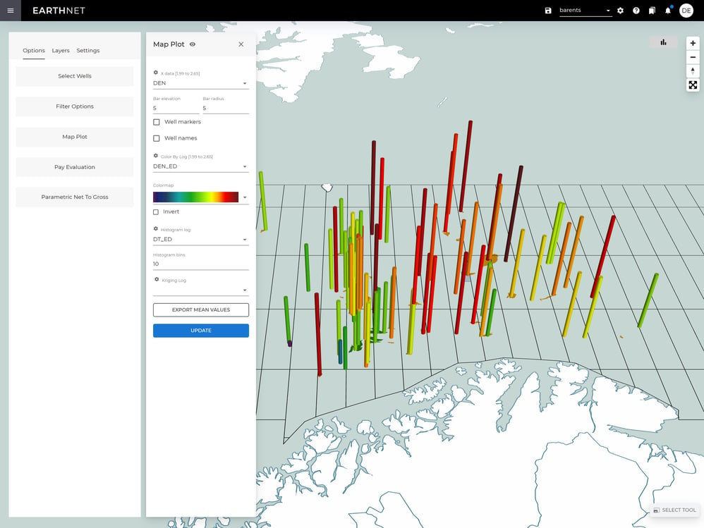
Map plots
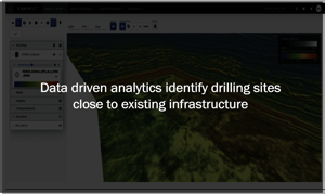
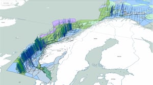
Our map plots allow you to visualise your AI-interpreted data in a geographical context, making it easier for you to understand the relationships between different properties. The maps can also show geographical and cultural data such as coastlines, basin outlines, well locations, infrastructure, license polygons, and block boundaries.
Choose from a variety of visualisation options, including blobs, bars, and histograms, to better understand the distribution of your data. Use kriging and interpolation techniques to create property distribution maps that show predictions of the property values between wells.
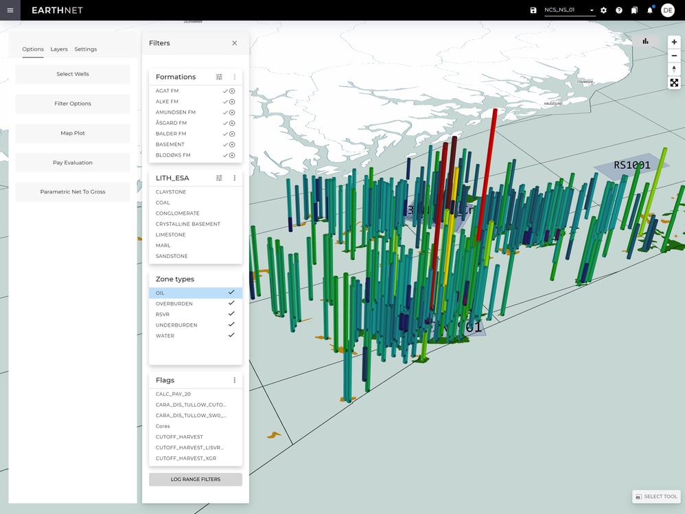
Data filtering
Choose what information you want to display on the map by selecting from your available data sets. You can do this by filtering on wells, formations, lithology, depth, data quality, reservoir & pay flags, and log value ranges. This allows you to formulate questions you want answered in the form of map based graphical visualisations.
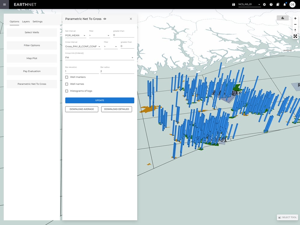
Reservoir evaluation tools
When creating volumetric estimates we need to know the averages and distributions of porosity, water saturation and net/gross related to stratigraphic zones, depth, geographic location etc.
Using the reservoir evaluation in EarthNET Insights, you can calculate both the porosity, water saturation and net/gross for stratigraphic zones. These distributions can be exported to the volumetric calculation tool of your choice where you can do further data-driven uncertainty analysis using Monte Carlo simulation.

Get in touch
We are dedicated to helping our clients unleash the full potential of their data.
Let's talk about the opportunities, and explore how we can assist you.
